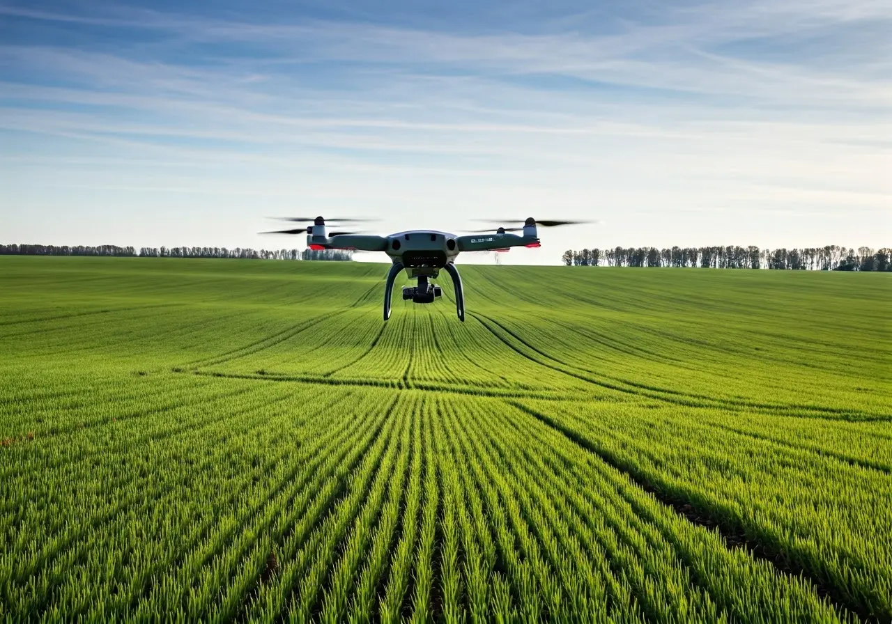
In recent years, technology has dramatically transformed the field of agriculture, and drones are at the forefront of this exciting transformation. This friendly guide will walk you through the basics of drone soil analysis, helping you understand how it works, its benefits, and how it’s shaping the future of farming.
What is Drone Soil Analysis?
Drone soil analysis involves using drones equipped with special sensors and cameras to gather data about soil conditions. This technology provides a non-invasive way to assess various soil properties such as moisture levels, nutrient content, and temperature. Imagine having a bird’s eye view of your farmland, where each pixel of the image carries vital details about the health and composition of the soil underneath. This transformative approach is gaining traction, allowing farmers to transition from traditional methods to more sustainable and precise agricultural practices. By gathering comprehensive data, farmers can tailor their approaches to each field’s needs, reducing waste and increasing efficiency.
The implementation of multispectral remote sensing within drone soil analysis has enabled the monitoring of large tracts of farmland. This technique allows for precision in understanding the soil environment, examining aspects such as organic matter presence and soil salinity. These insights ensure that crops receive the optimal conditions required for growth, highlighting deficiencies and imbalances before they impact harvest yields.
How It Works: The Technology Behind Drone Soil Analysis
Drones are fitted with advanced sensors that capture images and detailed data of the farmland. These sensors often include multispectral and thermal cameras that can measure specific wavelengths of light, offering insights into soil properties that aren’t visible to the naked eye. The data gathered through this technology are processed using sophisticated software that translates visual inputs into actionable information about the soil. For instance, by analyzing the reflected wavelengths, drones can detect unexpected changes in soil moisture or nutrient levels that might signal a developing issue.
A robust system like the DJI Thermal Drones adds another level of depth to this process by offering real-time, actionable data. With these drones, farmers receive timely alerts about stress markers in the soil. They can then investigate and remedy potential problems, such as uneven water distribution or nutrient application. This continuous loop of monitoring and intervention supports proactive farming strategies, where preemptive measures can replace reactive responses.
Benefits of Using Drones in Soil Analysis
Using drones for soil analysis offers many advantages, including time efficiency, enhanced precision, and cost-effectiveness. This method allows farmers to pinpoint problem areas quickly, assess crop health accurately, and make data-driven decisions to optimize yields. Instead of walking for hours across expansive fields, farmers can survey vast areas in minutes, accumulating invaluable data that enhances productivity.
Furthermore, drones promote sustainability by enabling precise interventions. By identifying specific patches that require attention, they minimize resource wastages such as water and fertilizers, which can be detrimental if overused. This precision, paired with robust soil mapping techniques, underpins more sustainable farming models. In turn, it reduces the environmental footprints of agricultural practices, paving the way for greener farming solutions.
Real-Life Applications of Drone Soil Analysis
From monitoring large agricultural fields to assessing vineyards and orchards, drone soil analysis is widely adopted in various sectors. These applications help in detecting issues like pest infestations, waterlogging, or nutrient deficiencies, allowing for timely interventions. In vineyards, for example, drones can monitor the soil’s microclimates, providing insights into grape maturation and ensuring consistency in wine production. In orchards, they help manage irrigation more efficiently, enhancing fruit quality and yield consistency.
Additionally, utilizing this technology helps farmers get ahead of potential climate change impacts. Regular soil surveillance and data analysis aid in understanding long-term trends, such as soil erosion or nutrient depletion, and empower farmers to implement strategies to combat these issues proactively.
Future Trends in Drone and Soil Analysis Technology
As drone technology continues to evolve, we can expect even more sophisticated capabilities such as real-time data processing and AI integration. These advancements will provide deeper insights and further automate the process, making drone soil analysis an indispensable tool for modern agriculture. Soon, artificial intelligence could predict future soil conditions by analyzing past data patterns, allowing for even greater adaptation and precision.
Moreover, the role of drones will likely expand beyond current capabilities, incorporating functions like weather prediction and automated pest deterrence. The integration of AI and machine learning could lead to drones that not only assess but also address soil health issues autonomously, transforming the agricultural paradigm to be more proactive and less reactive.
Embracing the Future of Soil Analysis
Drone soil analysis is revolutionizing the way farmers approach crop management and soil health. With its ability to provide detailed, timely information, farmers can make better, informed decisions that enhance productivity and sustainability. As technology continues to advance, embracing tools like drones in agriculture will become increasingly essential for optimizing land use and ensuring a healthy agricultural future. Discover more about innovative farming technologies and how drones can make a difference by visiting TJ Aerosense.


