10 Ways Drones Are Revolutionizing Crop Analysis
Share
Drones are swiftly taking to the skies of the agricultural industry, offering innovative solutions to age-old farming challenges. With their ability to gather data and provide high-resolution imagery, drones open up a new world of possibilities for crop analysis. In this blog, we’ll explore how drones are transforming the way farmers monitor and manage their crops.
1. Enhancing Crop Monitoring with Aerial Views
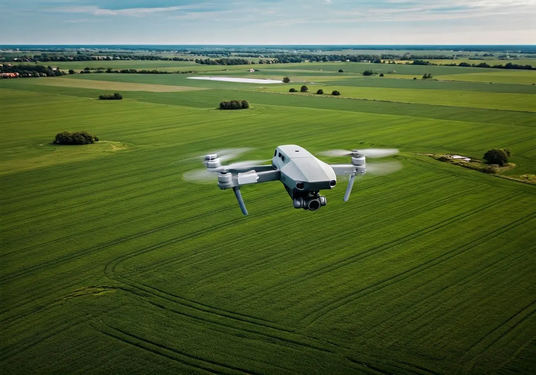
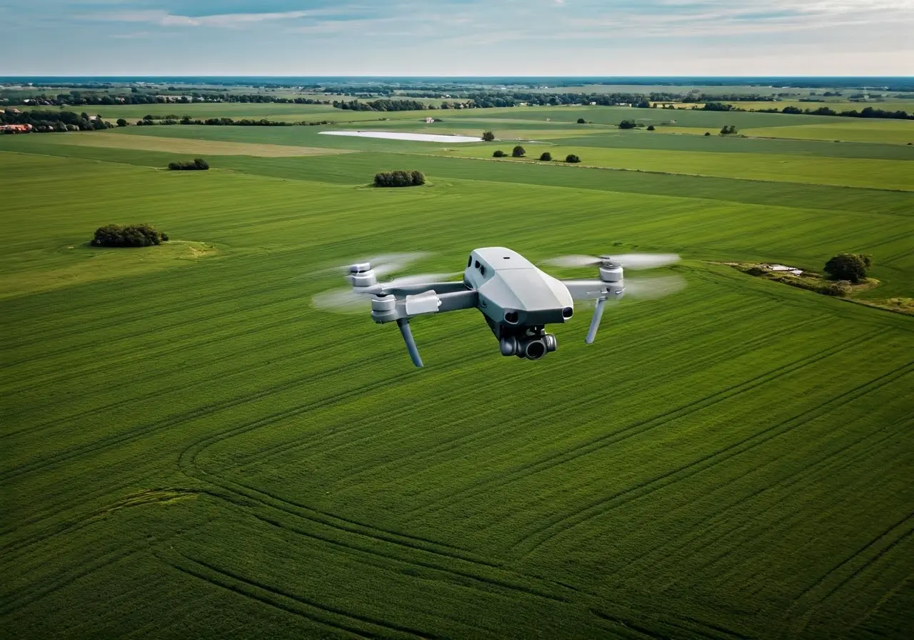
Drones provide an unparalleled aerial perspective, allowing farmers to monitor large expanses of land quickly and efficiently. This bird’s-eye view helps in identifying issues like pest infestations or water stress early on. The ability to capture high-resolution images from a vantage point impossible for human eyes alone also means farmers can target their responses to specific areas much more effectively. Moreover, by combining aerial views with data from sensors, drones can create detailed maps highlighting the health of each part of the field.
Monitoring from above isn’t only about spotting problems; it’s also a powerful tool for long-term planning. With regular flights, drones can track changes across seasons, helping farmers understand patterns and making it easier to plan crop rotations and harvest schedules. This long-term data collection allows for a more strategic approach to farming, turning data into actionable intelligence that boosts productivity.
2. Improving Precision Agriculture Techniques
With drones, farmers can apply water, fertilizers, and pesticides with more precision, reducing waste and ensuring that crops receive exactly what they need. Traditional methods often lead to overapplication, which not only wastes resources but can also harm the environment. By using drones to pinpoint areas that need attention, farmers can deliver treatments where they’re truly needed, effectively implementing strategies for precision agriculture.
This targeted approach is facilitated by drones equipped with technologies such as GPS and advanced sensors, providing real-time data crucial for making informed decisions. Farmers can tailor these treatments to different zones within the same field based on specific needs, optimizing crop management and enhancing yield. For instance, using DJI Agras series drones can ensure precision in spraying and seeding operations.
3. Providing Superior Data Collection and Analysis
Equipped with advanced sensors and cameras, drones collect detailed data that can be analyzed to optimize farming practices and boost productivity. These devices are capable of capturing multi-spectral images that reveal insights about crop health and soil conditions that go unnoticed by the human eye. This data, when coupled with sophisticated software, enables the identification of zones affected by particular issues such as nutrient deficiencies or pest infestations.
The transition from raw data to actionable insights is a monumental leap for farmers. High-quality data can inform day-to-day decisions and larger strategic plans. Using custom crop management software, farmers can convert the massive trove of data drones provide into a competitive edge. This technological synergy is what truly makes drones transformative in agriculture, advancing towards a smart, digital way of farming.
4. Efficiently Mapping and Surveying Agricultural Lands
Drones can quickly create accurate maps and surveys, greatly reducing the time and labor involved in traditional methods of land assessment. This is crucial for determining planting patterns, irrigation needs, and potential yield outputs. The flexibility of drone technology allows farmers to map out entire fields with precision, covering even the challenging terrains that traditional assessments find difficult.
Mapping and surveying with drones also provide the foundational data needed for many precision agriculture methods. Detailed elevation maps, for example, can assist in designing effective irrigation systems, ensuring water reaches every necessary corner of the farm. As noted in our agriculture drone market benefits article, this detailed level of mapping which drones provide is setting new standards for farming efficiency.
5. Detecting Crop and Soil Health Early
By capturing infrared imagery, drones can detect plant health issues that are invisible to the naked eye, enabling early intervention and reducing crop loss. Infrared cameras can identify variations in plant health that often precede visible symptoms, giving farmers a head start in addressing potential issues. It’s this early detection capability that makes drones invaluable for large-scale crop monitoring, where timeliness can prevent significant losses.
Furthermore, drones facilitate soil health monitoring, which is just as critical. Using sophisticated sensors, drones can collect data regarding soil composition, moisture levels, and even potential areas of erosion or compaction. Having access to such detailed soil analysis helps farmers apply interventions more effectively, making sure that they address the root cause of crop health problems rather than just the symptoms.
6. Assisting in Livestock Management
Beyond crops, drones are also being used to monitor livestock, providing real-time updates on animal locations and health, thus simplifying animal management. In vast expanses, it’s challenging to keep track of livestock movements and wellbeing. Drones, equipped with thermal imaging and GPS capabilities, can locate cattle quickly, assess their condition, and even identify potential threats to the herd such as predators.
This capability not only saves time but also reduces labor costs significantly. Instead of relying on numerous personnel to physically inspect and manage livestock, a single drone can accomplish the task more efficiently. As underscored in this revolution of drone farming methods, integrating drones into livestock management systems is proving to be game-changing, offering farmers enhanced visibility and control over their operations.
7. Streamlining Planting Processes
Some advanced drones are capable of planting seeds, helping to reforest areas quickly and efficiently—a technology that holds great promise for sustainable agriculture. This automation lays the groundwork for swift and accurate reforestation or expanding crop areas with minimal human labor. Drone-based planting is not only faster than traditional methods but also more exact, thanks to precision GPS technology.
This technology is especially beneficial in areas affected by deforestation or land degradation. Drones can quickly disseminate seeds in difficult-to-reach terrains, laying the seeds for recovery and ecological balance. With these unmanned aerial vehicles leading the way in planting technology, the potential for maintaining and even enhancing biodiversity is significant.
8. Enabling Efficient Pest Control
Drones equipped with thermal cameras can spot nests and pest habitats, allowing targeted treatment and reducing chemical usage. Traditional pesticide application methods are often indiscriminate, leading to excessive chemical runoff that can harm the environment. However, drones change this narrative by precisely targeting problem areas, minimizing the ecological impact and expenses associated with pest management.
The precision of drone-enabled pest control is revolutionizing how treatments are applied. By focusing only on afflicted areas and preserving unaffected zones, farmers can deploy pesticides sparingly and responsibly. This efficiency aligns with modern sustainable farming goals, ensuring more environmentally-friendly practices that protect both crops and the surrounding ecosystem.
9. Enhancing Crop Insurance Assessments
With high-quality aerial footage, drones help insurers assess crop damages more accurately, leading to quicker claim processes. Traditionally, assessing crop damage required time-consuming in-person evaluations, which could prolong payouts. Now, drones create a reliable visual record that facilitates rapid and impartial assessments.
This technology has revolutionized insurance by providing clear, unbiased data to accurately measure crop health and damage. Insurance providers can reach conclusions faster, and farmers benefit from expedited claims, helping them return to business as usual more swiftly after adverse weather events or other disruptions.
10. Boosting Yield Prediction Accuracy
Using drone-gathered data, farmers can make more accurate yield predictions, which are crucial for planning and market strategies. Yield predictions guide a host of farming decisions—from determining the appropriate time for hiring labor to planning marketing strategies. Accurate yield estimates prevent over-extension and ensure farmers make the most of their resources.
Drones enable the collection of vast amounts of data, which, when analyzed, provide an accurate picture of potential harvest outcomes. With these insights, farmers can tailor their strategies to maximize profits, solidifying drones as indispensable tools in the arsenal of modern agricultural management. By integrating cutting-edge technologies like machine learning algorithms from artificial intelligence in agriculture, drones unlock new potential for forecasting and decision-support.

