How Does the DJI T50 Enhance Agricultural Mapping?
Agricultural mapping is a critical component in modern farming, helping farmers better understand their fields and make informed decisions. The DJI T50, a cutting-edge drone, is revolutionizing this process. In this FAQ, we’ll explore how the DJI T50 enhances agricultural mapping and what features make it a game-changer for farmers.

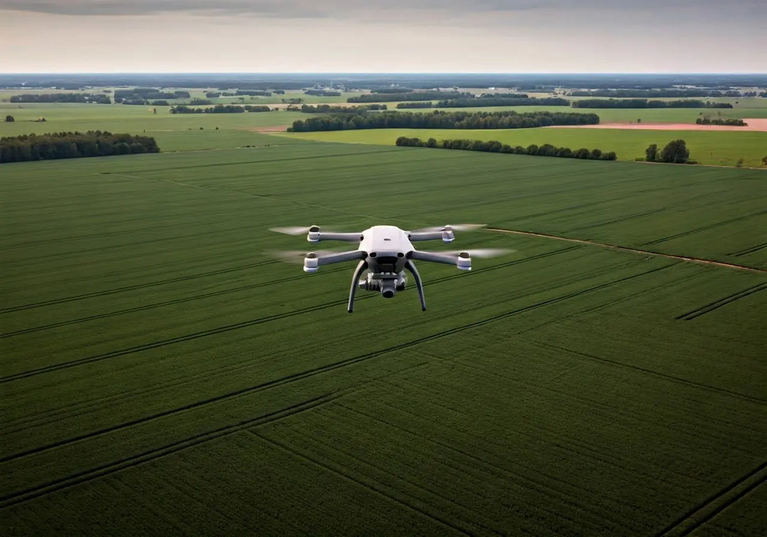
What is the DJI T50?
The DJI T50 is a highly advanced agricultural drone designed to streamline and enhance the mapping process. Equipped with state-of-the-art technology, it offers precision and efficiency for farming operations.
The drone embodies innovation, allowing farmers to conduct detailed monitoring of their fields. Its robust build ensures reliability, while its sophisticated systems facilitate accuracy in data collection. Unlike conventional methods, the DJI T50 provides a comprehensive aerial perspective, making it indispensable in modern agriculture.
Easily adaptable to various field sizes and types, the DJI T50’s versatility is a standout feature, serving a wide range of agricultural needs, from small family farms to large commercial operations. Its adaptability makes it a perfect fit for diverse farming landscapes.
How Does the DJI T50 Improve Data Collection?
With its high-resolution cameras and sensors, the DJI T50 quickly collects detailed data on crop health, soil quality, and field conditions, making it easier for farmers to analyze their fields.
The DJI T50 offers a seamless integration with software platforms that visualize data in real-time, enabling farmers to stay updated with the latest information about their crops. This integration aids in precision agriculture, allowing for adjustments to be made on the fly based on real-time feedback DJI Agriculture Drone Promote the comprehensive transformation and upgrading of agricultural production.
Thanks to its advanced imaging capabilities, the DJI T50 delivers insights that were previously difficult to obtain. It captures multispectral and thermal images, providing a deeper understanding of crop stress and health indicators, which are crucial for timely interventions and enhanced productivity.
What Are the Key Features of the DJI T50?
The DJI T50 boasts features such as real-time data streaming, autonomous flying capabilities, and compatibility with various software platforms, providing farmers with flexible and powerful mapping options.
One of its noteworthy features is its autonomous flight modes, which ensure that even the most complex fields are covered without gaps or overlaps. This capability allows farmers to generate high-quality maps efficiently and without manual intervention.
Additionally, its compatibility with various agricultural management platforms allows for integrated data analysis and easier farm management. This feature enables farmers to streamline operations and improve decision-making processes, enhancing overall farm efficiency.
The drone’s ability to resist adverse weather conditions ensures a stable and uninterrupted data collection process, providing farmers with reliable and consistent outputs regardless of environmental changes.
How Does the DJI T50 Enhance Decision-Making for Farmers?
By delivering precise and comprehensive maps, the DJI T50 enables farmers to make data-driven decisions about planting, irrigation, and pest control, ultimately leading to improved yields and cost savings.
Data collected by the DJI T50 can be analyzed to identify trends and correlations that inform strategic decisions. This capability allows farmers to optimize resource allocation, prioritize field management tasks, and improve efficiency in their operations.
With an ability to anticipate crop needs, the DJI T50 reduces the guesswork involved in farming, allowing farmers to implement proactive measures rather than reactive ones. This shift in strategy is fundamental to competitive and sustainable agriculture.
In What Ways Does the DJI T50 Support Sustainable Farming?
The DJI T50 helps farmers reduce waste and optimize resource use by providing accurate data that informs sustainable farming practices, benefiting both the environment and agricultural productivity.
Understanding precise water requirements and potential risk areas in fields aids in reducing unnecessary water use and preventing chemical runoff into local ecosystems. This eco-friendly approach contributes to maintaining biodiversity and promoting sustainable agriculture.
Equipped with precision application technology, the DJI T50 enables targeted pest control measures, eliminating the need for broad-spectrum spraying. Consequently, this drone helps preserve beneficial organisms while reducing environmental footprints.
Adopting the DJI T50 fosters a healthier balance between productivity and environmental stewardship, promoting responsible farming practices that align with global sustainability goals.
Embracing the Future of Agricultural Mapping
The DJI T50 stands at the forefront of agricultural mapping technology, providing farmers with the tools they need to optimize their fields and increase productivity. Its advanced features and ease of use make it an invaluable resource in the quest to enhance agricultural efficiency.